- CIN No. U72900UP2019PTC118878
- E-mail info@mectoi.com
- Phone +91-522-4331521
Geographic Information System (GIS)
- Home
- Geographic Information System (GIS)
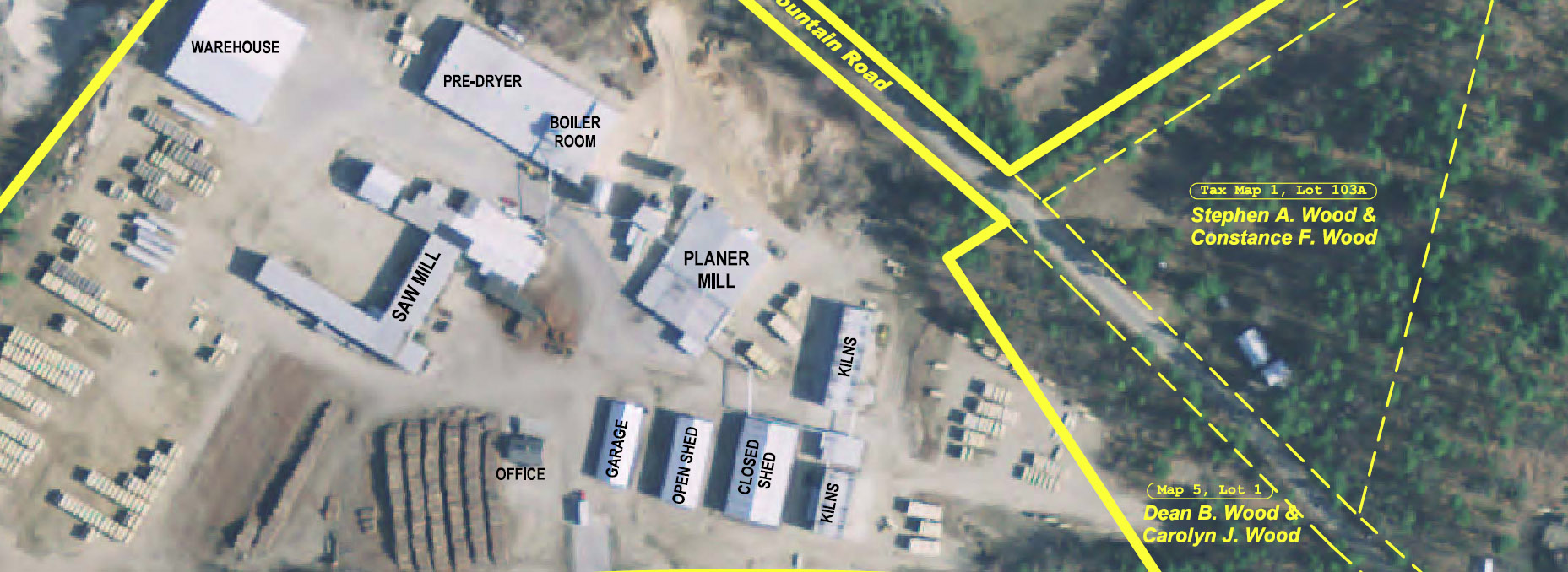
A Geographic Information System (GIS) is software that blends the power of a map with the power of a database to allow people to create, manage and analyse information, particularly information about location.
Mapping data reveals information about locations and populations vital for a range of sectors, across health, education, manufacturing and insurance. GIS means the latest mapping data can be communicated and used most effectively.